
Our vision is to create one solid society, by bringing all mountains lovers together on one platform with professionalism and integrity.
#hiking
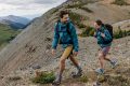
Planing For a Training Program – Mario Fares
- March 25, 2020
- 0
Getting ready for your first mountaineering trip is never an easy task. You can't reach the summit if you are not well prepared physically. Technical skills could be acquired two...
Read more
How to use “Trekking Poles” correctly
- March 25, 2020
- 0
𝗛𝗼𝘄 𝘁𝗼 𝘂𝘀𝗲 𝗧𝗿𝗲𝗸𝗸𝗶𝗻𝗴 𝗣𝗼𝗹𝗲𝘀 𝗰𝗼𝗿𝗿𝗲𝗰𝘁𝗹𝘆? Uphill: Poles should be shortened to a length which allow them to be planted in front of you. Downhill: Poles should be extended to...
Read more
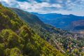
Daher El Qadib – Knisset El Rab(Dahr El Jerd) Trail
- March 24, 2020
- 0
Daher El Qadib - Knisset El Rab(Dahr El Jerd) Trail. [caption id="attachment_2114" align="aligncenter" width="1024"] "Knisset El Rab" Images Credits Spyro Klitira.[/caption] Minimum elevation: 2,350 m Maximum...
Read more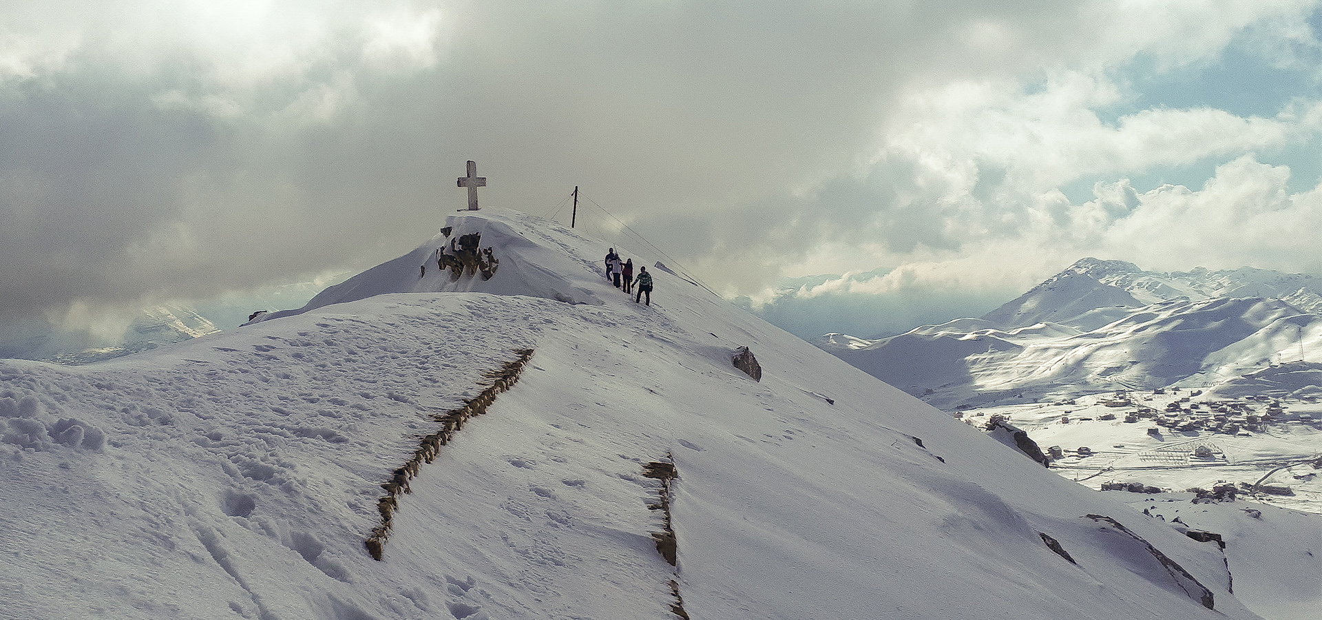
Sayidat Al Qarn, Akoura Lakes Loop.
- March 24, 2020
- 0
Sayidat Al Qarn, Akoura Lakes Loop. [caption id="attachment_2105" align="alignnone" width="1024"] Sayidat Al Qarn Image Credits Spyro Klitira[/caption] Minimum elevation: 1,770 m Maximum elevation: 2,100 m Distance: 9 km...
Read more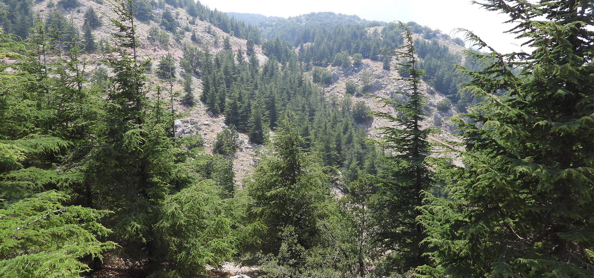
Shouf Biosphere Reserve, Lebanon’s Largest Nature Cedar Reserve!
- March 23, 2020
- 0
Shouf Biosphere Reserve, Lebanon's Largest Nature Cedar Reserve! In July 2005, UNESCO declared the "Al-Shouf" Cedar Nature Reserve a “Biosphere Reserve” with an area of approximately 50,000 hectares – or...
Read more
The story of “Jabal Moussa” in Mount Lebanon.
- March 23, 2020
- 0
From a threatened mountain to a thriving protected area. Cover image credits: Crossdev On the western slopes of "Mount Lebanon", in the casa of "Kesrouane", stands a mountain of 12,5...
Read more
“Akkar”, Mountains, Woods & more – “Akkar Trail” team
- March 23, 2020
- 0
Cover image: Khaled Taleb, Akkar trail team Akkar is one of the most diversified regions in Lebanon, nature-wise. It is characterized by its mountains that include many forests and...
Read more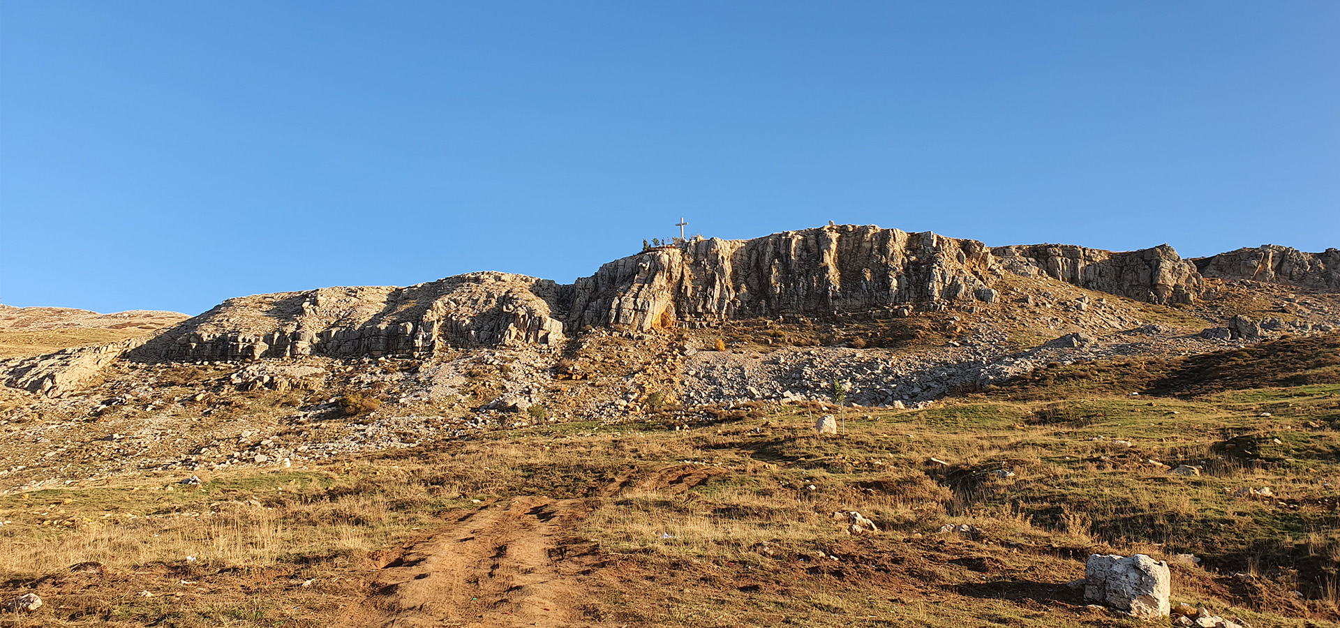
“Zaarour” Trail via Ski Slopes
- March 23, 2020
- 0
"Zaarour" Summit Trail [caption id="attachment_1994" align="aligncenter" width="300"] Zaarour Summit. Image credits Chahid Zeinoun[/caption] Minimum elevation: 1660 m Maximum elevation: 2,000 m Distance: 7 km Elevation gain: 400 m...
Read more
“Mseylha Walkaway”
- March 23, 2020
- 0
"Mseylha Walkaway" "Mseilha Walkaway - درب المسيلحة " is a very smooth relaxing trail, no uphills or downhills. This destination is a little bit of History and activity that...
Read more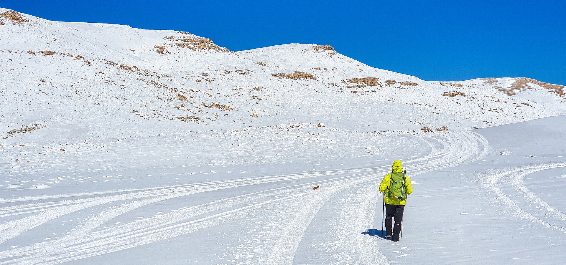
Qurnat as Sawda 3,088 m Trail
- March 23, 2020
- 0
"Qurnat as Sawda" 3,088 m Trail Minimum elevation: 2,700 m Maximum elevation 3,088 m Distance: 21 Km Elevation gain: 750 m Starting GPS readings: 34.2337100, 36.0803900 until you reach the...
Read moreSponsors
Trending
Sponsors
Recent Posts
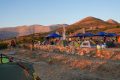
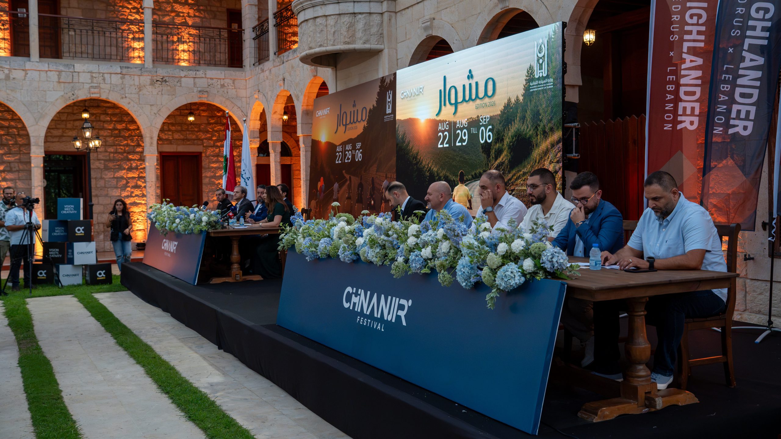
Chnaniir Festival Launches Its 2026 Second Edition Under the Theme “Meshwar”
- July 20, 2026
- 0
The Chnaniir Festival

Jbeil Hosts Engaging Nature and Conservation Conference
- January 31, 2026
- 0

Inauguration of the “Qatlab Trail” Ammatour
- November 28, 2025
- 0

Stay safe in the Nature – How the Right Gear Protects You
- November 17, 2025
- 0

Hiking Shoes or Boots? How to Make the Right Choice?
- October 26, 2025
- 0