

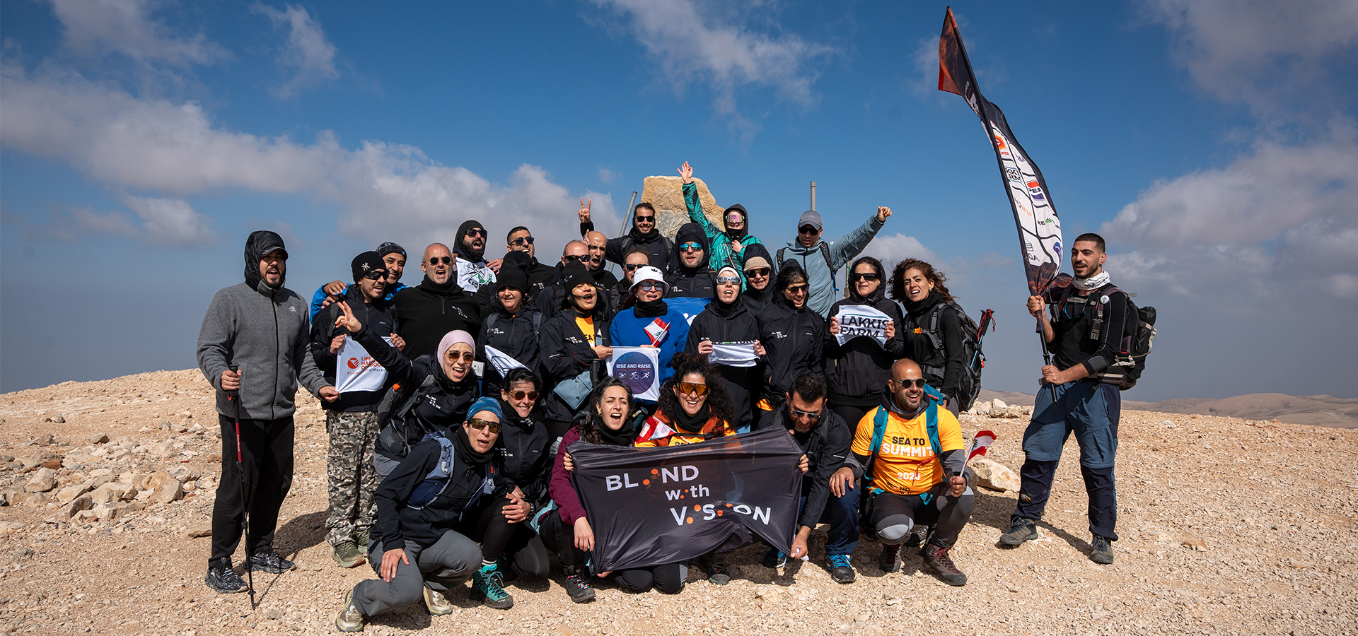


Our vision is to create one solid society, by bringing all mountains lovers together on one platform with professionalism and integrity.
#hiking
50 Km in 12 Hours, They were Up for The Challenge! – Akkar Trail
- June 16, 2020
- 0
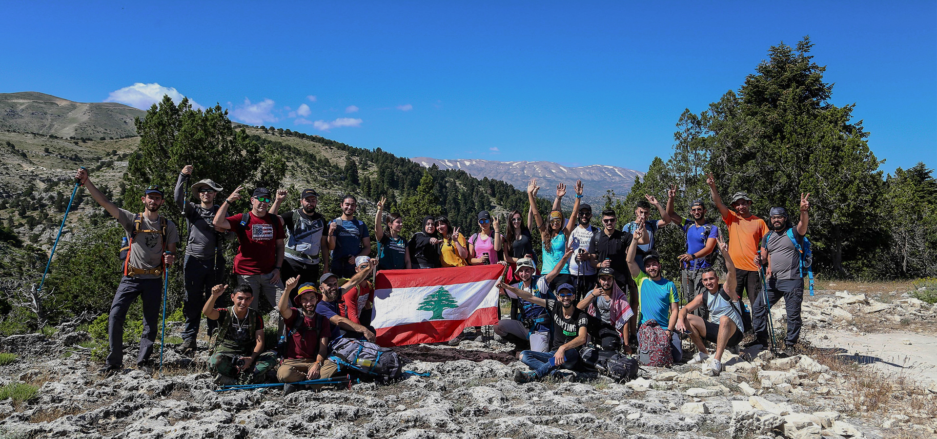
With the participation of 25 adventurers, the challenge of walking 50 km in "Akkar Trail" within 12 hours between "Fnaidek" and "Meshmesh" was accomplished. "Akkar Trail" group has completed...
Read more
Life begins at 50! John Saad
- May 28, 2020
- 0
From media, events, and advertising sales... To nature lover; "John Saad", a man in his 50s, talks to "The Mountains Magazine Lebanon" about his experience with nature and the outdoors,...
Read more
Electrolytes Drinks: Benefits and How to Prepare Them At Home
- May 16, 2020
- 0
Author: Mario Fares Summer is around the corner, waves of heat are hitting the trails, and keeping a high performance during your outdoor activity is a must. During this hot...
Read more
Geocaching – Hike and hunt treasures in Lebanon and abroad.
- May 11, 2020
- 0
Prepared by Mario Fares Geocaching is a worldwide outdoor activity that combines hiking with a treasure hunt. The name derives from a mashup of “geography” and “cache”. Instead of a...
Read more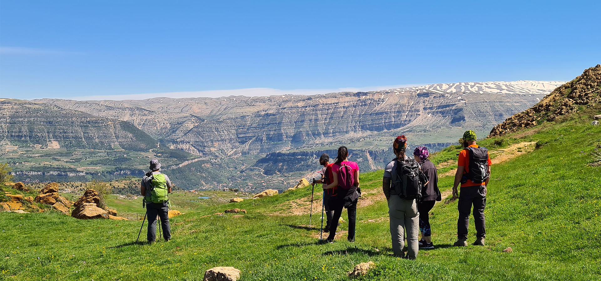
Ehmej – Laqlouq Trail
- May 4, 2020
- 0
Cover Image: Sannine Massif from Ehmej - Image Credits Spyro Klitira [caption id="attachment_2583" align="alignnone" width="1024"] Ehmej - Image Credits Mario Fares.[/caption] Minimum elevation: 1,245 m Maximum elevation: 1,800...
Read more
A 3-day Trekking Adventure in The Lebanese Mountains – Video & Pictures.
- April 30, 2020
- 0
Sometimes nature is all you need, it becomes your life. Few days ago, "Nabih Achkar", "Boutros Abi Ramia", "Rawad Achkar" and "Charbel Sattouf" decided to embark on a very special...
Read more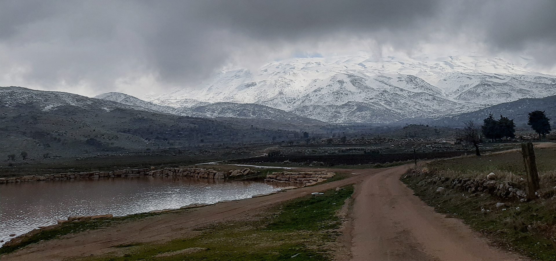
How To calculate Hiking Difficulty and Duration.
- April 16, 2020
- 0
Cover Image: Mount Hermon - Credits Mira Sabbagh How to calculate Hiking Difficulty: Choosing a difficulty level for your hike is a key to wise hike planning. Easy? Moderate?...
Read more
Altitude: The importance of drinking water + 5 Myths not to believe!!
- April 14, 2020
- 0
Cover Photo: Nafez Tawk & Youmna Saloumi, Tengboche. Whether you're skiing, mountain biking, trekking or hiking, you need to drink a lot of water at high altitude compared to what...
Read more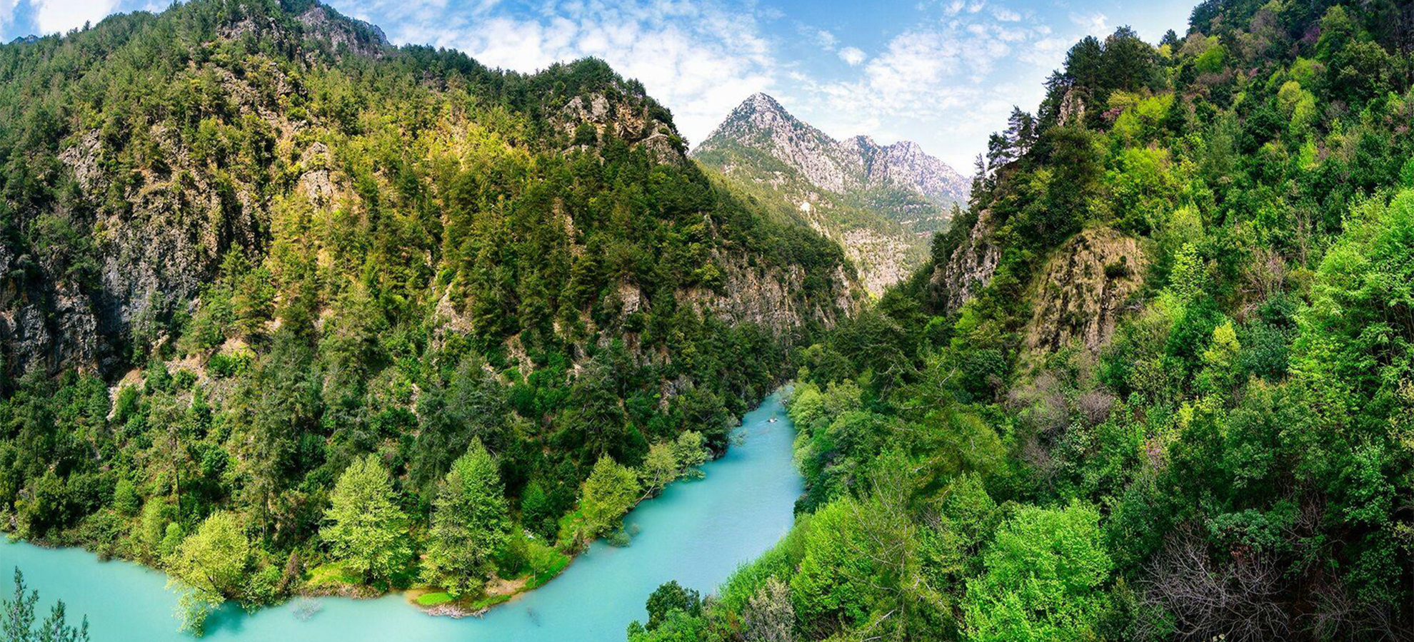
Shouwen Lake Trail
- April 10, 2020
- 0
Cover Photo: Crossdev Shouwen Lake Trail Minimum elevation: 417m maximum elevation: 523m length: 5km Elevation gain: 301m starting GPS reading 34.078282, 35.771756 & back to start Distance from Beirut: 45km...
Read more
The full loop of Jabal Moussa
- April 10, 2020
- 0
Jabal Moussa full loop hike [caption id="attachment_2430" align="aligncenter" width="450"] Jabal Moussa - Spyro Klitira[/caption] Minimum elevation: 786m maximum elevation: 1600m Length: 19.5km Elevation gain: 1300m Starting GPS reading 34.0557000,...
Read moreSponsors
Trending


Sponsors
Recent Posts

Cedars of Honor: Lebanon Remembers 10 Mountaineers Lost on Broad Peak
- September 6, 2026
- 0

Through the Lens: Photography Takes Center Stage in Ehden
- September 3, 2026
- 0

HIGHLANDER Cedrus 2026 – Chnaniir Edition
- August 25, 2026
- 0