“Mseylha Walkaway”
- March 23, 2020
- 0
“Mseylha Walkaway”
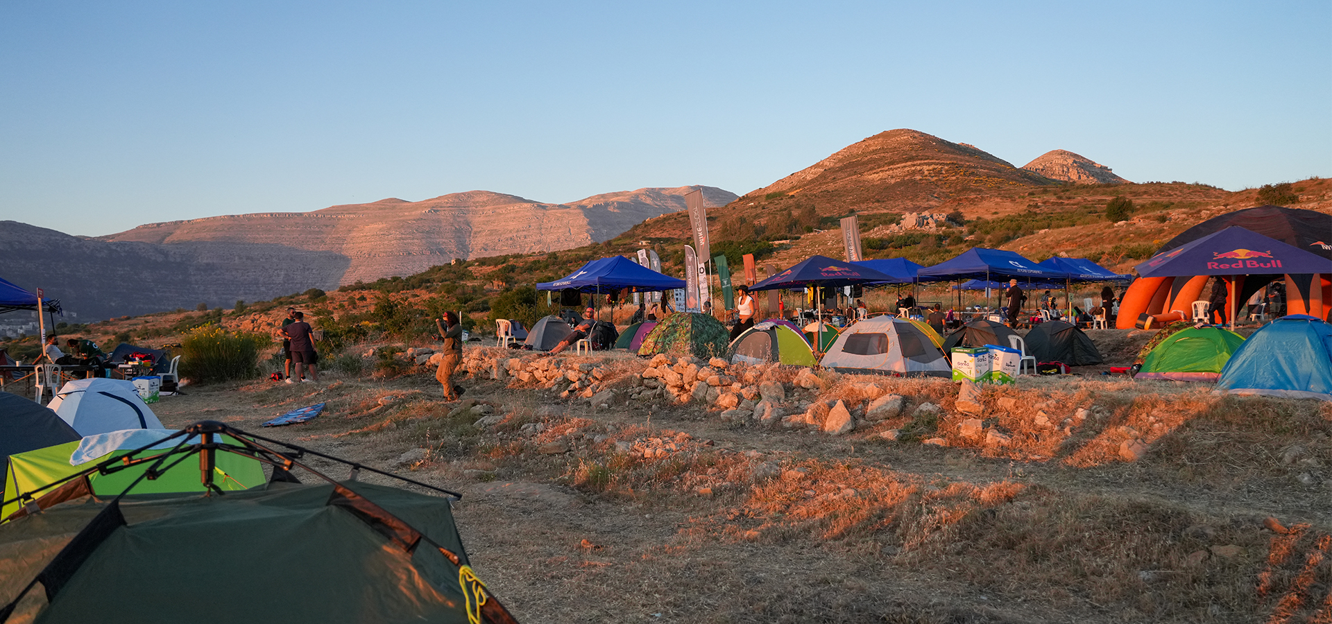
“Mseilha Walkaway – درب المسيلحة ” is a very smooth relaxing trail, no uphills or downhills. This destination is a little bit of History and activity that allows you to meditate.
- Minimum elevation: 40 m
- Maximum elevation: 190 m
- Distance: 11 km
- Elevation gain: 175 m
- Starting GPS readings 34.2736400, 35.6882300 near “Mseylha Fort”, walk along “Nahr El Jaouz” river to reach the ending GPS readings 34.2639000, 35.7584200 in “Kaftoun”
- Distance from Beirut: 43 Km
- Trail type: One way
- Difficulty: Easy


