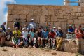
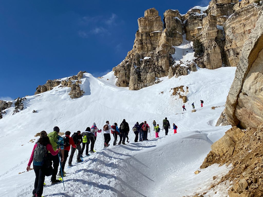
Sayidat Al Qarn, Akoura Lakes Loop.
- March 24, 2020
- 0
Sayidat Al Qarn, Akoura Lakes Loop.
- Minimum elevation: 1,770 m
- Maximum elevation: 2,100 m
- Distance: 9 km
- Elevation Gain: 400 m
- Starting point “Aayoun El Aalaq” GPS readings: 34.1403400, 35.8738700 between the lakes until you reach “Sayidat Al Qarn” church and the cross facing it on the GPS Readings 34.1475101, 35.8909439 and back to the same starting point.
- Distance from Beirut: 60 Km
- Trail type: Loop
- Difficulty: Moderate
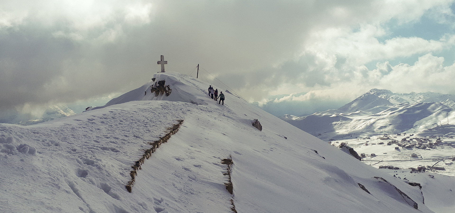
“Sayidat Al Qarn” Cross Between Winter and Summer.
Video Credits Mario Fares