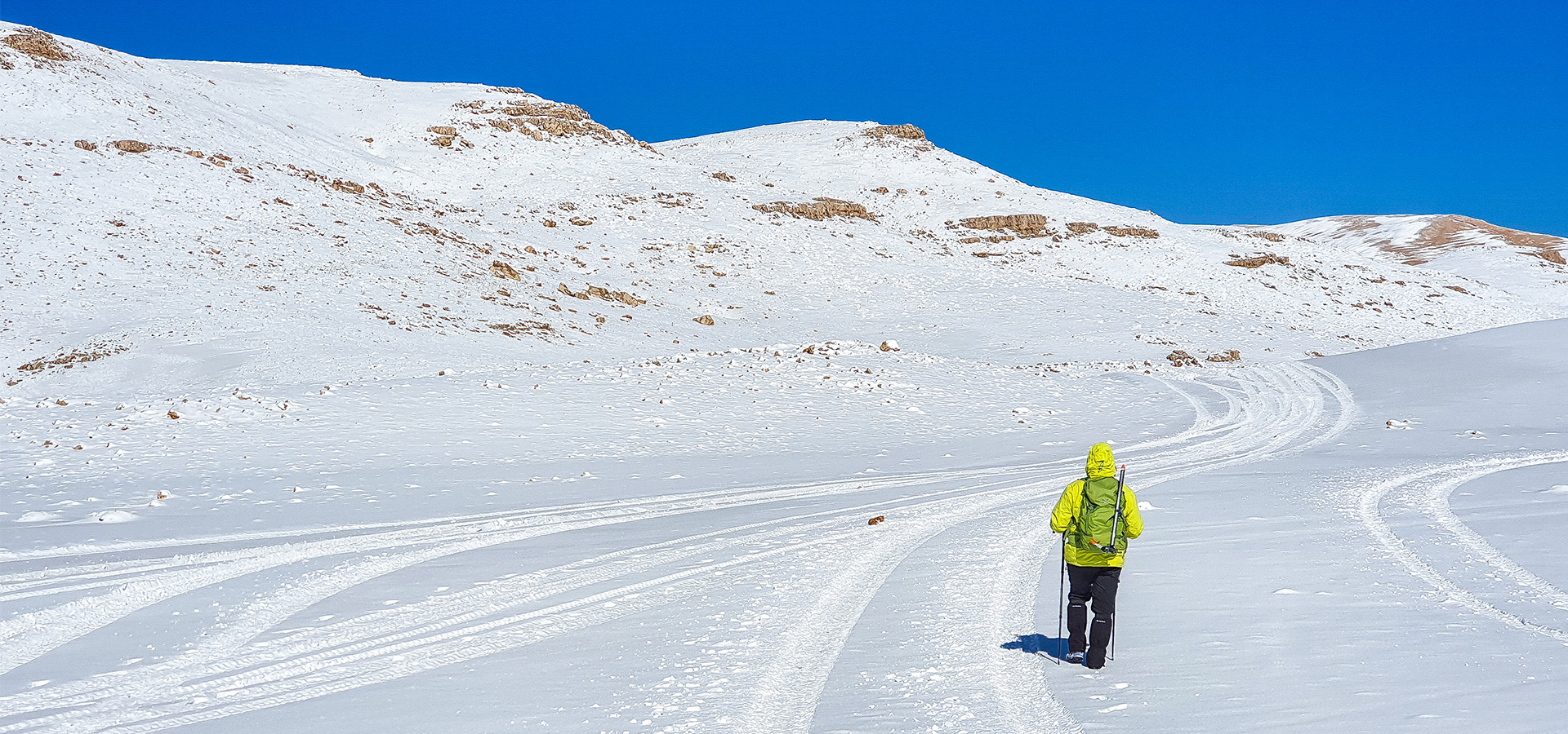
Qurnat as Sawda 3,088 m Trail
- March 23, 2020
- 0
“Qurnat as Sawda” 3,088 m Trail
- Minimum elevation: 2,700 m
- Maximum elevation 3,088 m
- Distance: 21 Km
- Elevation gain: 750 m
- Starting GPS readings: 34.2337100, 36.0803900 until you reach the Black Peak on GPS readings 34.297784,
- 36.113413 and back to the starting point.
- Distance from Beirut: 120 km
- Trail type: Loop
- Difficulty: Difficult