Our vision is to create one solid society, by bringing all mountains lovers together on one platform with professionalism and integrity.
#trail
- March 23, 2020
- 0
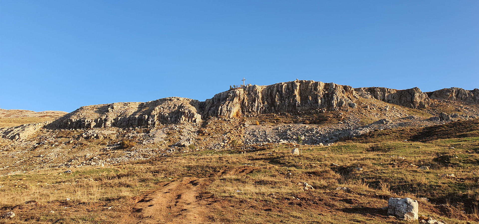
"Zaarour" Summit Trail [caption id="attachment_1994" align="aligncenter" width="300"] Zaarour Summit. Image credits Chahid Zeinoun[/caption] Minimum elevation: 1660 m Maximum elevation: 2,000 m Distance: 7 km Elevation gain: 400 m...
Read more- March 23, 2020
- 0
"Mseylha Walkaway" "Mseilha Walkaway - درب المسيلحة " is a very smooth relaxing trail, no uphills or downhills. This destination is a little bit of History and activity that...
Read more- March 23, 2020
- 0
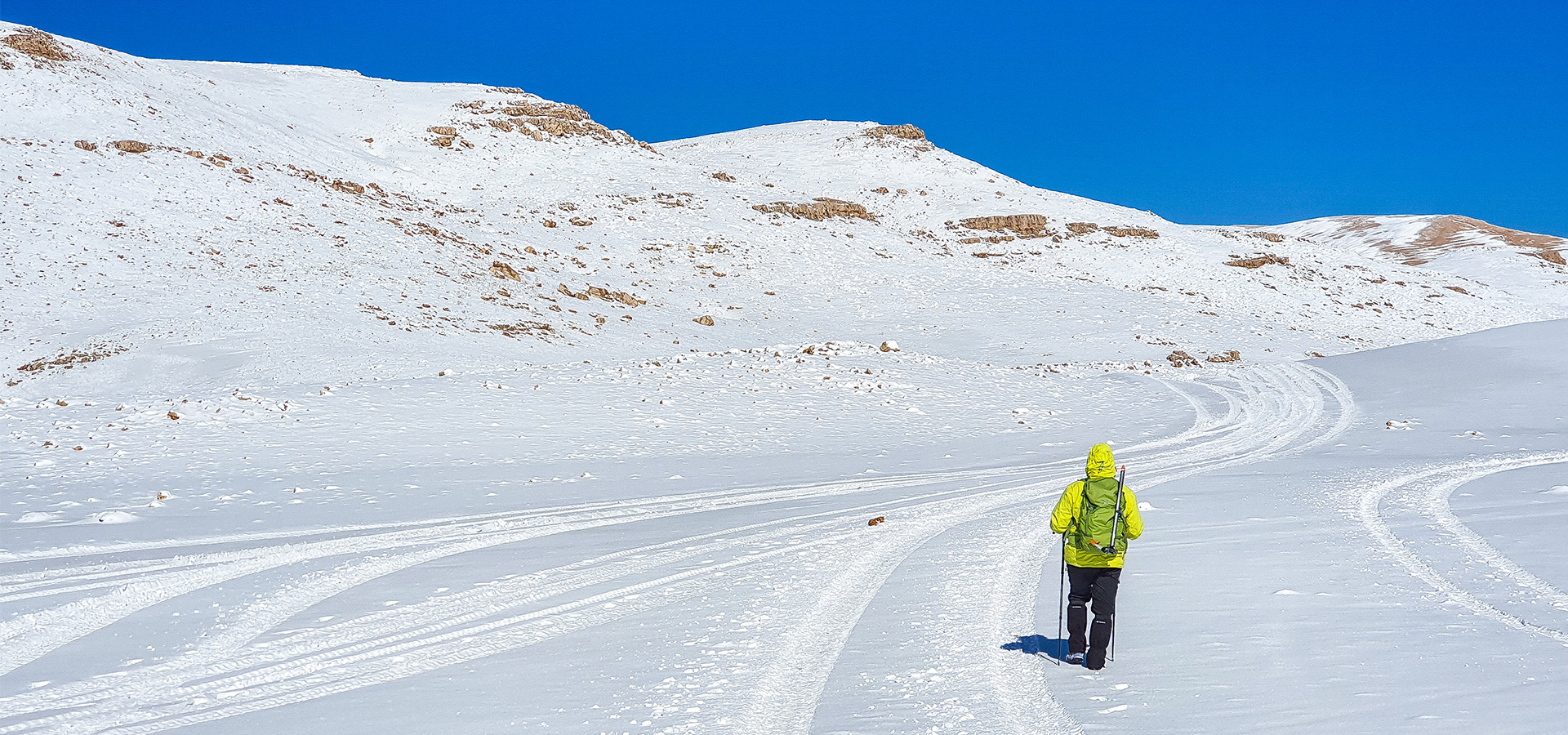
"Qurnat as Sawda" 3,088 m Trail Minimum elevation: 2,700 m Maximum elevation 3,088 m Distance: 21 Km Elevation gain: 750 m Starting GPS readings: 34.2337100, 36.0803900 until you reach the...
Read more- March 22, 2020
- 0
How well do you know the famous South-West face of "Sannine" Massif? [caption id="attachment_1944" align="aligncenter" width="1024"] South Face of "Sannine" Map[/caption] 1-"Mzaar" 2465m, 33°57’54” N 35°50’28” E, is the...
Read more- March 22, 2020
- 0
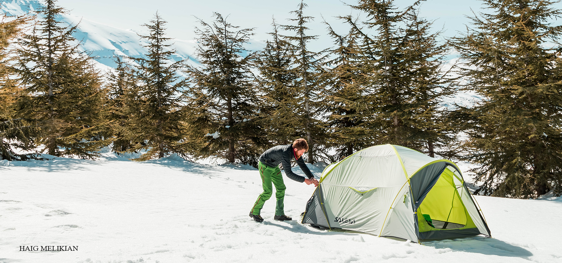
If you go backpacking in winter, you need to know how to select a good tent and camping spot. Here are some basic guidelines to keep in mind. How To...
Read more- March 22, 2020
- 0
A loaded backpacking pack should not weigh more than about 20 percent of your body weight. A full day hiking pack should not weigh more than 10 percent of your...
Read more- March 21, 2020
- 0
- Mount Kneisseh Canal 11 Trail Minimum elevation: 1,700m Maximum elevation 2,067m CANAL 11 Distance: 9 Km Elevation gain: 400m Starting GPS readings: 33.8632400, 35.8241600 until you reach Channel 11...
Read more
