Mount Everest: China and Nepal agree on new, taller height.
- December 8, 2020
- 0
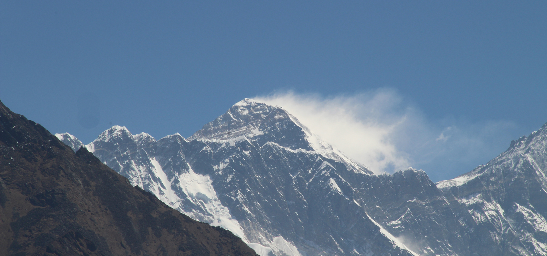
Cover image: Mario Fares
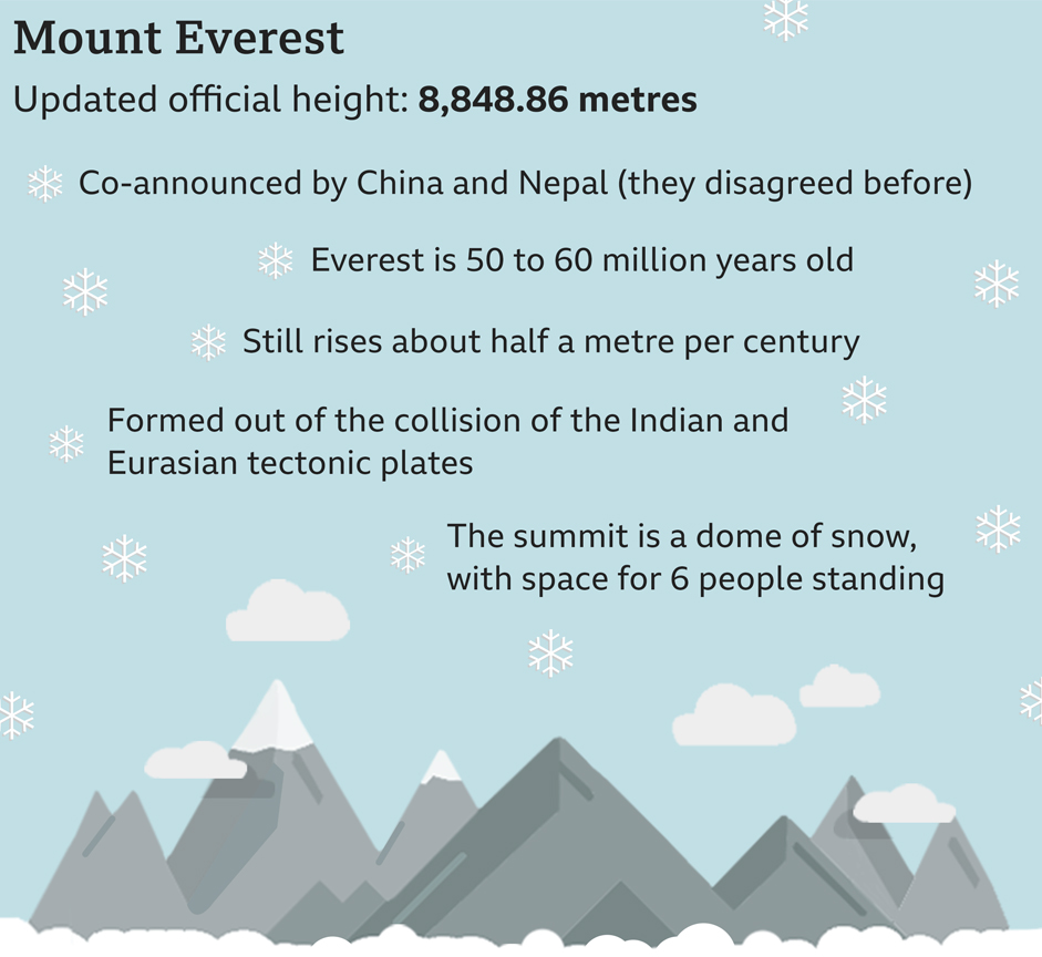
The highest point on Earth has a newly announced elevation. Mount Everest is 8,848.86 m above sea level, according to survey results presented today by China and Nepal.
The new elevation is the culmination of a multiyear project to definitively measure the legendary mountain.
On May 22, 2019, Nepalese deployed a GPS receiver on the summit of Everest, along with ground-penetrating radar to measure the depth of the snow piled on top of the rock. Meanwhile, teams of surveyors waited at eight sites with views of Everest’s summit to fix its elevation at sunrise, when the atmosphere is most clear, with modern laser theodolites.
After the Survey became mired in international politics a team of Chinese surveyors were at work on the north side of the mountain this spring measuring the summit using China’s network of Beidou satellites, a rival to the GPS system.
Now that the results have been announced, representatives from both countries expressed extreme confidence in the new altitudes. But they are quick to point out that no matter how accurate, every survey comes with some margin for error.
Source: National Geographic