Ehmej – Laqlouq Trail
- May 4, 2020
- 0
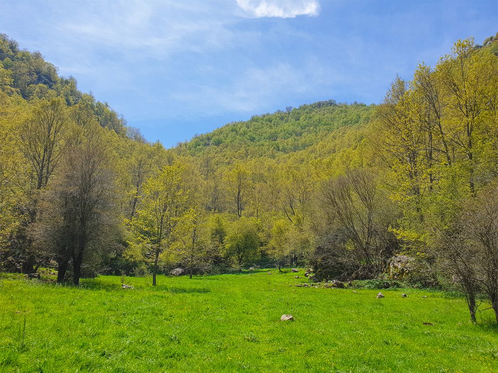
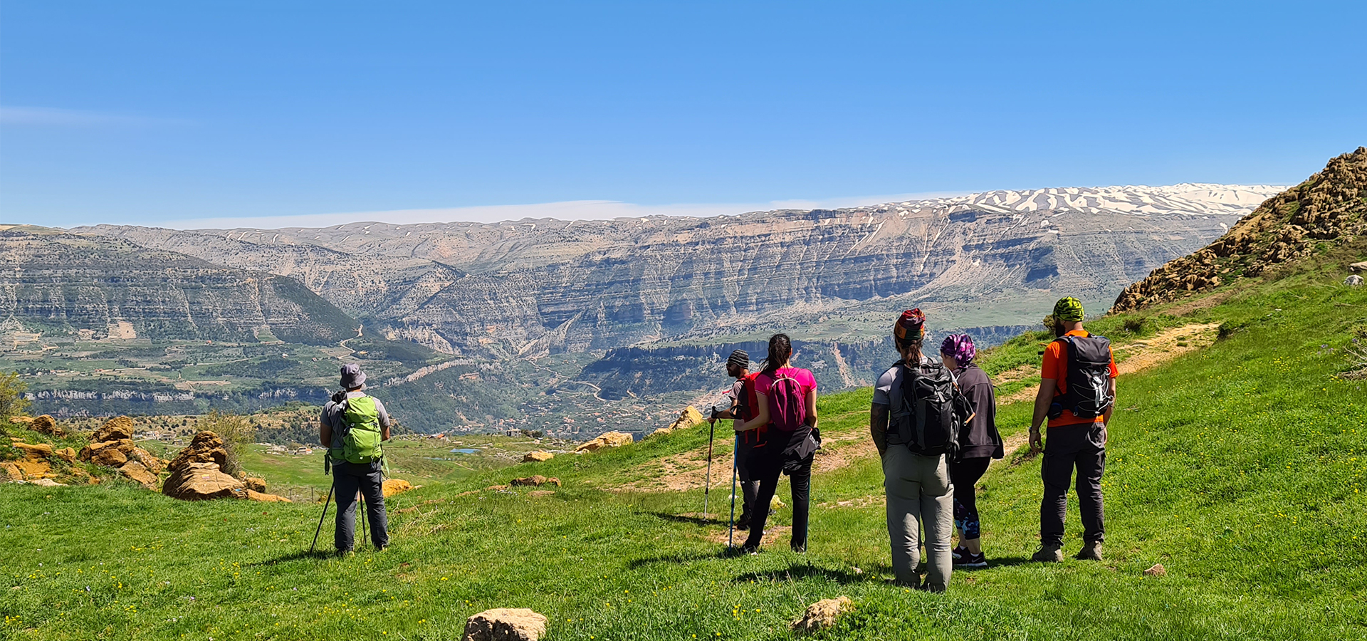
Cover Image: Sannine Massif from Ehmej – Image Credits Spyro Klitira
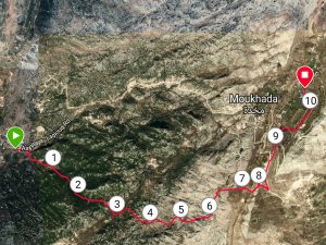
Minimum elevation: 1,245 m
Maximum elevation: 1,800 m
Distance: 10 Km
Elevation gain: 760 m
Starting GPS readings: 34.126300, 35.802650 until you reach the GPS readings 34.135170, 35.853880
Distance from Beirut: 55 km
Difficulty: Moderate