“Zaarour” Trail via Ski Slopes
- March 23, 2020
- 0
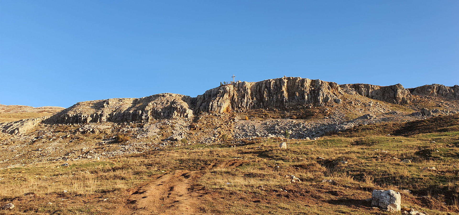
“Zaarour” Summit Trail

- Minimum elevation: 1660 m
- Maximum elevation: 2,000 m
- Distance: 7 km
- Elevation gain: 400 m
Starting GPS readings 33.917440, 35.7965300 near “Marj Al Baqra”, walk along the two crosses to reach the summit of the ski slopes GPS readings 33.9121047, 35.8182323 and back to the starting point. - Distance from Beirut: 30 Km
- Trail type: Loop
- Difficulty: Moderate
#Mt. Zaarour summit early morning 23/03/2020.
Stunning panorama:
Sannine Massif – Bekaa – Anti Lebanon range – Mt. Hermon – Mt. Kneisse – Beirut
Credits: Haig Melikian


